We craft premium hemp seeds for top-performing farmers.
High CBD genetics, science-driven and eco-friendly.
High CBD
High secondary metabolite expression with perfect varieties for CBD and minor cannabinoids, optimized for both biomass and flower production.
Based on Science
Backed by cutting-edge research, our genetics ensure superior quality, reliability, and innovation, meeting the demands of a dynamic global market.
Eco Friendly
Sustainable varieties designed for high yield and minimal environmental impact, promoting soil health and resource conservation.
Ecotrio Labs Signature
About Ecotrio Labs
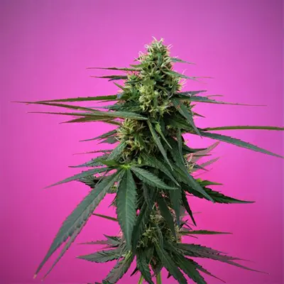
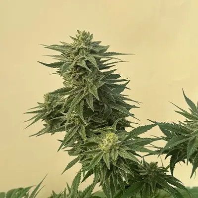
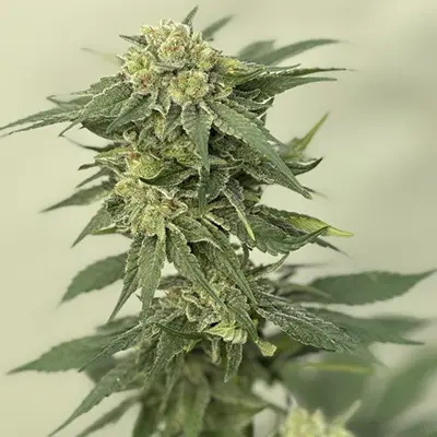
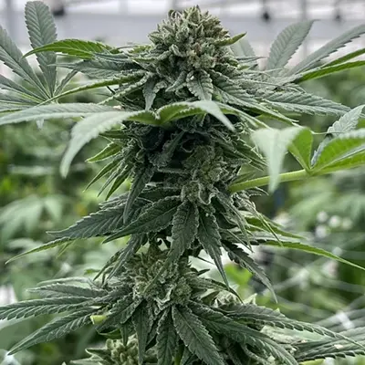
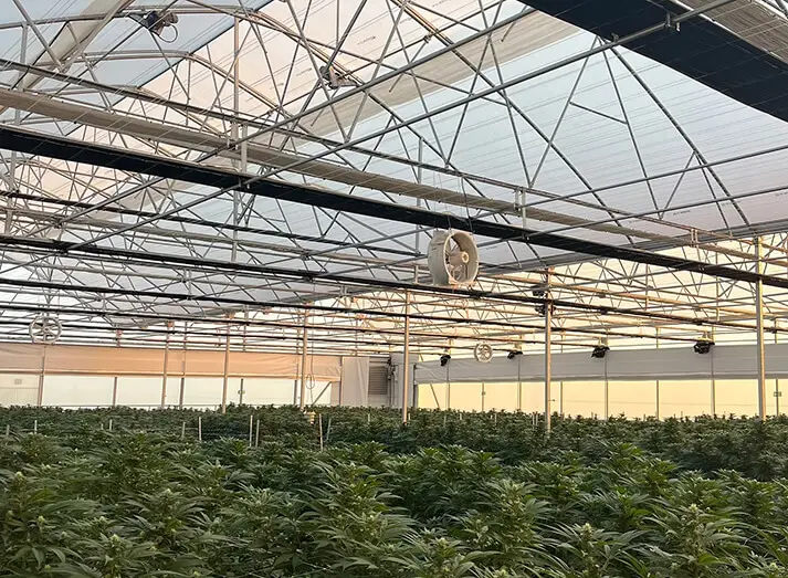
Our focus is on the selection and stabilization of hemp strains optimized for commercial cultivation, emphasizing uniformity, resilience, and high yields. Our varieties are carefully bred for superior flower and biomass production, ensuring high CBD content, rich terpenes, exceptional aromas, and dense, high-quality flowers.
"Its easy cultivation, high germination rate, uniform growth, and resistance to humidity make it a high-quality product. Despite the uncertainties in Normandy this year, requiring an earlier harvest, the result remains there with a pronounced aroma reminiscent of Asnelles shortbread or Breton cake. I’ll order it again and recommend it without hesitation this year!"
#CBD #Outdoor #Biomass
#CBD #Outdoor #Biomass
Les Chanvriers NormandsOutdoor CBD cultivators, @ France, Normandy
"Caramelo is a beautiful strain — robust and fairly easy to grow. Very strong and resistant, it produces nice, dense flowers with intense sweet smell. A great phenotype for those who love hunting for beautiful things."
#CBD #Indoor #Flowers
#CBD #Indoor #Flowers
L’Epique GardenIndoor grower, @ Lyon, France
"We had the opportunity to cultivate the Kompolti variety offered by Eco Trio Labs, and the results far exceeded our expectations. The germination rate was exceptional, around 98%, a sign of rigorous selection and impeccable seed quality."
#CBD #Outdoor #Biomass
#CBD #Outdoor #Biomass
Large Scale Commercial CBD CultivatorOutdoor CBD Cultivator, @ Morocco
"Adapted to Moroccan climatic conditions, Kompolti by EcoTrio Labs demonstrated excellent resilience to high temperatures and drought, all while maintaining uniform and vigorous growth. In terms of performance, the variety delivered a very satisfactory yield, with robust plants producing abundant biomass."
#CBD #Outdoor #Biomass
#CBD #Outdoor #Biomass
Large Scale Commercial CBD CultivatorOutdoor CBD Cultivator, @ Morocco
"Regarding CBD content, the Kompolti from Eco Trio Labs showed a high and stable level, perfectly suited to the requirements of the wellness market. Moreover, the notable resin content makes this variety ideal for quality extractions."
#CBD #Outdoor #Biomass
#CBD #Outdoor #Biomass
Large Scale Commercial CBD CultivatorOutdoor CBD Cultivator, @ Morocco
"A word also on customer support: the Eco Trio Labs team was responsive, professional, and very involved throughout the process, whether it was for fast seed delivery or administrative and documentation support related to cultivation."
#CBD #Outdoor #Biomass
#CBD #Outdoor #Biomass
Large Scale Commercial CBD CultivatorOutdoor CBD Cultivator, @ Morocco
"In summary, we strongly recommend Kompolti seeds from Eco Trio Labs for any commercial CBD cultivation, particularly in regions with a Mediterranean or semi-arid climate. A reliable option for producers seeking consistency, quality, and support."
#CBD #Outdoor #Biomass
#CBD #Outdoor #Biomass
Large Scale Commercial CBD CultivatorOutdoor CBD Cultivator, @ Morocco
"I would like to express my full satisfaction with the cannabis seeds provided by Ecotrio Labs. The genetic quality is outstanding, with a high germination rate, vigorous growth, and healthy, well-balanced plants. The strain I’ve tested (Kompolti) has shown its full potential, both in yield and cannabinoid richness."
#CBD #Outdoor #Biomass
#CBD #Outdoor #Biomass
Large Scale Commercial CBD CultivatorOutdoor CBD Cultivator, @ Morocco
" It’s truly a pleasure to work with such a professional and committed supplier. I highly recommend Ecotrio to any grower looking for reliable and high-performing results."
#CBD #Outdoor #Biomass
#CBD #Outdoor #Biomass
Large Scale Commercial CBD CultivatorOutdoor CBD Cultivator, @ Morocco
"Our choice fell on Caramelo, and it proved to be a winning one. We
achieved a 100% germination rate, without encountering the slightest
issue during the growth and flowering stages. To complete this very
positive picture, Caramelo stands out for its powerful aroma and truly
lives up to its name, with genuine caramel notes. The final result
exceeded our expectations: THC levels within regulatory limits, compact
and fragrant flowers of premium quality."
Antoine,La Compagnie du Chanvre, @ France
"Beyond the genetics themselves, the support provided by Ecotriolabs is
a real asset. ETL responded to each of our requests, consistently
providing relevant technical and scientific solutions. This guidance
proved invaluable."
Antoine,La Compagnie du Chanvre, @ France